Journey to the Undiscovered Parts of the Island Archipelago via Car
In a bid to combat the issue of predictable travel experiences caused by social media trends and popular spots attracting more people, the Faroe Islands have introduced a unique self-navigating car rental system. This innovative initiative, provided by local partner 62N, offers tourists a chance to explore lesser-known, underrated spots across the archipelago.
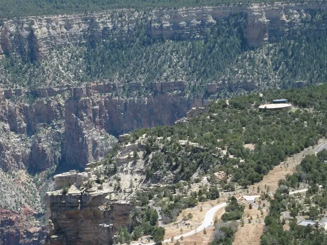
Visitors can rent cars from the airport or Tórshavn and then scan a QR code to receive their route via Google Maps. The routes are gradually revealed, one stop at a time, keeping the final destinations a surprise until the journey unfolds. Each route typically lasts between three to six hours and includes 4 to 6 destinations such as clifftop cafés, historic churches, quiet villages, and dramatic fjords.
The self-navigating cars guide tourists through the day, making it a unique and mindful travel experience where discovery is curated but spontaneous in feeling. The system distributes tourist traffic more evenly across the islands, reducing pressure on popular hotspots and helping to protect sensitive sites from overtourism.
The approach promotes local hidden gems and supports sustainable tourism by steering visitors to less crowded, authentic corners of the Faroe Islands, enhancing the overall visitor experience and preserving the islands' natural and cultural heritage. The in-built assistant in the self-navigating car suggests where to turn and where to stop for breathtaking views, although some notable spots may require a short walk.
Interestingly, the self-navigating car rental system was made possible by an old joint project between Google and the islands called Google Sheep View. This project involved attaching cameras to local sheep and letting them roam freely on the islands, creating a digital version of the country.
Tourists who use the self-navigating car system can see sights that many might otherwise miss, providing a more thoughtful exploration of the area. The system does not increase the cost of regular car rentals, making it an affordable option for those seeking an unconventional travel experience.
The Faroe Islands' tourism administration has found a solution to the problem of uneven attraction visits and overtourism, offering tourists a refreshing change from the predictable and crowded tourist spots. The self-navigating car rental system is not just a means of transportation, but also a tool for discovering lesser-known, underrated spots in the Faroe Islands.
[1] Google Maps [3] 62N [5] Google Sheep View
- Embarking on their journey, tourists scan QR codes to receive routes from Google Maps, provided by local partner 62N, which guides them to uncover underrated destinations like clifftop cafés, historic churches, quiet villages, and breathtaking fjords.
- Embracing technology integrated into their lifestyle, travelers utilize the self-navigating car system, a product of the Google Sheep View project, to discover hidden gems and support sustainable tourism in the Faroe Islands.
